Road sign
|

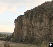
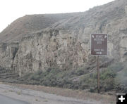
Jim Bridger marker
|

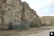
Jim Bridger marker
|

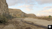
Turn-out view
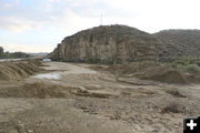
View standing just south of the Jim Bridger marker enclosure looking north at the historical site turn-out.
|

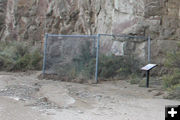
Fenced historical marker
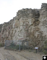
The area of the rock wall with the Jim Bridger inscription is fenced in for protection. The fence and signs survived the Sept. 12th mudslide without damage.
|

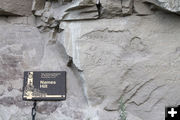
1844 Jim Bridger inscription
|

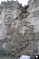
Above markers
Water and mud flowed off the cliff face next to two of the markers at the historical site, but fortunately they weren't damaged.
|

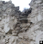
Waterfall ramp
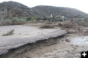
Close-up of the gap in the rocks where water and mud flowed off the cliff face very close to the Jim Bridger marker, but fortunately it wasn't damaged in the Sept. 12th mudslide incident.
|

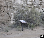
Interpretive sign
Still intact.
|

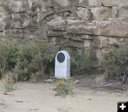
Names Hill marker
|

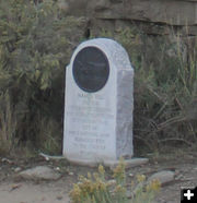
Marker
|

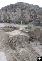
Marker
Road crews have cleared away most of the tons of mud and dirt that swept across this area during the Sept. 12th mudslide event.
|

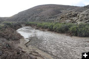
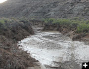
Mud channel
This is a ravine just north of the Jim Bridger marker. The Sublette Trail goes up the road on the left side of this wash and immediately climbs the steep hill to the top of the cliffs above the historical marker.
|

Mud channel close-up
|

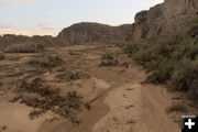
Mud flow river
View looking south towards the Jim Bridger marker. A torrent of mud and water came down the wash just north of the site, where the Sublette Trail climbs the hill.
|

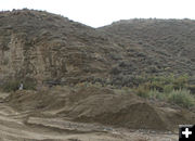
Sublette Trail
The Sublette Cut-off Trail crosses from left to right in this picture, then immediately climbs the hill to reach the ridge top. This trail was used by emigrants headed to Oregon and California starting around 1843 and for decades afterwards.
|

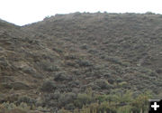
Hill Trail close-up
The Sublette Trail swings from left to right in this picture, then veers hard left and climbs up the hill. This Trail was used by livestock-drawn wagons and people walking for decades in the mid-1800s by people headed to Oregon, California, and other destinations westward.
|

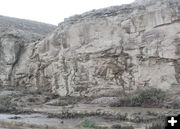
Covered in mud
The inscriptions on the rock faces are covered in mud. It is unknown how many may have been damaged or washed away.
|

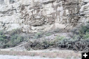
Muddy rocks
|

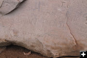
1850
|

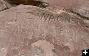
Oregon Trail
|

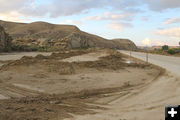
Mud mountains
The Wyoming Department of Transportation had to clear mud from the highway and covering the historical marker turnout. Dirt and mud were still piled on the site as cleanup continues. It is unknown if rocks containing inscriptions are buried in any of these huge dirt piles.
|

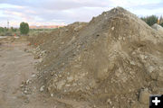
Tons of dirt and mud
What a mess. Tons of dirt, water and mud came crashing down the hillsides during the mudslide event. There were no reports of injuries, but the home and property across the highway received a lot of damage.
|

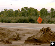
Road damage
|

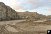
Turnout
This is the Names Hill turn-out, view looking north, with US 189 on the right. The Jim Bridger marker is on the left at the base of the rock cliff.
|

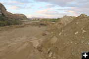
Dirt piles
|

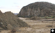
Turnout view
This view is on the north side of the turn-out looking south towards the Jim Bridger marker. The mudslide came in from the right moving to the left across the highway.
|

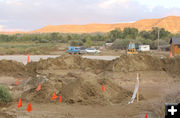
Across the highway
The residence and property across the highway from Names Hill suffered significant flooding and damage from the mudslide on Sept. 12th.
|

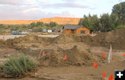
Mudflow afatermath
|

Union Telephone
Utility workers have already been in to refind their cables through the muck.
|
